Clear Creek Out & Back Ride Details
Challenge:
Smooth single track with some sandy sections in the valley and narrow sections at higher elevations.
Trailhead:
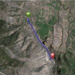
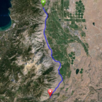
From Hwy 395, turn on Jacks Valley Road (SR206) and head west for about 1.5 miles. Jacks Valley Elementary School will appear on the left side of the highway and just ¼ mile further you will see a parking turnout area on the right – this is the trailhead. Begin your ride on the double track and shortly is a sign post indicating the beginning of the single track.
GPS: 39.091899, -119.80583
The Bike Ride:
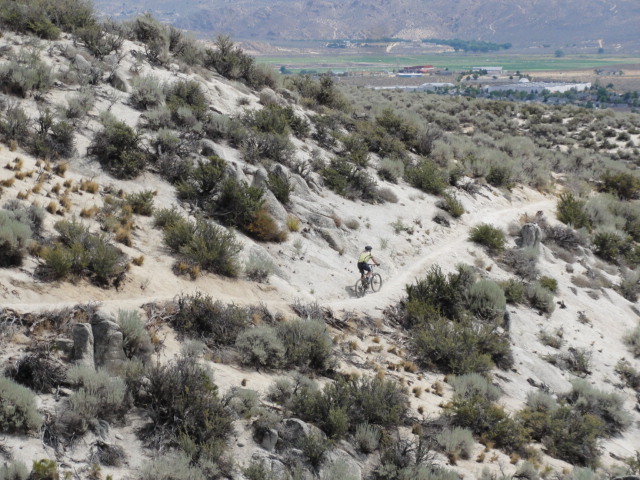
Clear Creek Mountain Bike Trail: A fun single track starting in the Nevada desert on sand with short winding curves among sagebrush and gradually climbing through sandy sections and up into the Alpine forests on smooth soil. There is a cautionary sign about the possibility of rattlesnakes being present in the sagebrush area. 6 miles up you will arrive at a popular destination called the Knob Point. Here is an excellent vista of Jacks Valley where you can imagine the pioneers and Pony Express traveling along the foothills of the formidable Eastern slope of the Sierra Nevada. You can either return your descent here, or continue on another 2 miles to a trail junction at a road. There is a creek you can use if you have a water filtration device. Keep in mind this is also a popular trail for hikers and equestrians.
Historical:
Before Jacks Valley Road, this route was part of the California Trail and was used by gold hungry emigrates and Pony Express riders stopping at Nevada’s first settlement, the Mormon Station, Genoa, just 6.5 miles along the highway.
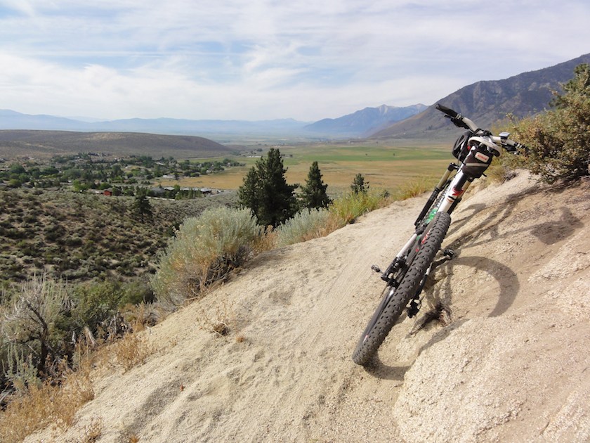 Jacks Valley - the base of the last barrier to the gold