Mt Rose to Spooner Lake Mountain Bike Trail Ride Details
Challenge:
Undulating single track with climbs, fast descents, distance, sandy sections, and some double track.
Trailhead:
Travel up Mt Rose Hwy 431 and at the first off road parking area, on the west end of Tahoe Meadows, is the TRT trailhead.
GPS: 39.109864, -119.922368 (Spooner Lake, Lake Tahoe Nevada State Park)
GPS: 39.172660, -119.906876 (Marlette Lake Dam- Flume Trailhead)
The Bike Ride:
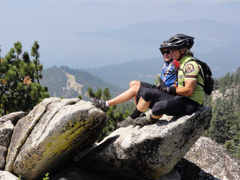
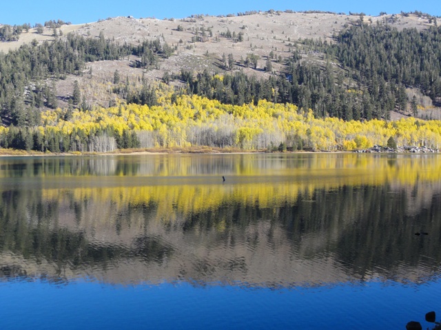
Mt Rose to Spooner Lake Mountain Bike Trail: The ride begins in Tahoe Meadows; a beautiful high alpine meadow perched atop the Carson Range and a popular location for hiking and XC skiing. This ride climbs on a TRT smooth single track until it reaches some height and then it basically undulates traversing along the crest of the Sierra Nevada‘s Carson Range. You will be riding on the backside of Diamond Peak Ski Resort, the eastern slope, where you can look down and see Washoe Lake in Nevada. You will continue along and cross over the crest onto the western slope and be high above the Lake with great views of North Lake Tahoe area. The trail undulates with short climbs and descents on smooth single track. Cross the double track road (Tunnel Rd. 7.85 mi from start) and continue straight on the single track. You will arrive at another trail junction – follow the sign and descend to the Tunnel Creek /Flume Trail junction where you will turn left onto the Flume Trail and Spooner Lake. Marlette Lake dam is 12.5 mi from start. See Flume Trail Out/Back for more details.
Historical:
Marlette Lake and the Flume. With the insatiable thirst for silver in Virginia City and Gold Hill area, during the Comstock Lode period, water was in short supply and needed to support a growing population of miners 25,000 – 40,000, and for the mining operations. Upon searching for water in the Carson Range, a creek was discovered, Franktown Creek (Hobart) flowing into Washoe Lake. Engineers constructed a diversion dam and built a combination of box flume and pressure pipeline to channel water 2,000 ft. down to Washoe Valley. Duane L. Bliss and H. M. Yerington of Glenbrook built a dam across Marlette Lake in 1873 and diverted it down Clear Creek Canyon (Hwy 50). Still not enough water, additional flumes and pipelines were built taping the Hobart Creek and Marlette Lake that by 1887 the water volume raised to 6.6 million gallons every 24 hours, with a total of 21 miles of piping and 46 miles of fluming. This area is also the location of the Lake Tahoe Wagon Trail that traveled from Carson City up Kings Canyon and over the crest to arrive lakeside near Incline Village. This was a popular route for logging operations, water transport, and travelers to the Lake from Nevada including Virginia City Journalist Mark Twain. (Mark Twain’s book, Roughing It, published in 1872, chronicles his get rich scheme coming west to Virginia and what followed).
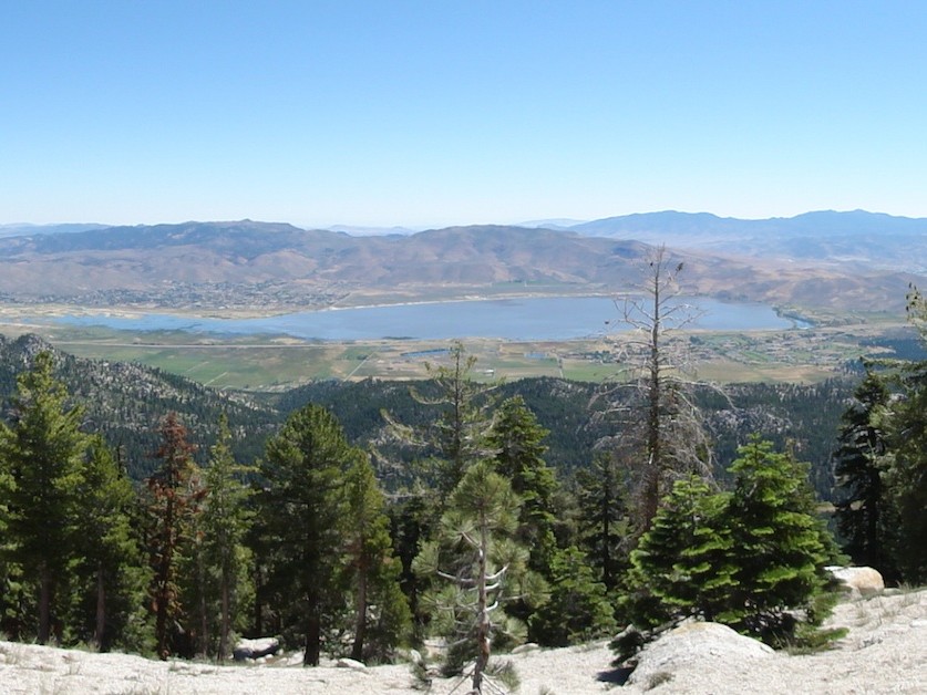 Washoe Lake from the Carson Range Crest